Mount Greylock,
Massachusetts
The highest natural point in Massachusetts is a summit in the sprawling Taconic Mountains, a sub-range of the Appalachians. Many people believe this highpoint to be a part of the nearby Green Mountains, but it simply ain’t so. 3,489 feet, or 1,063 meters seperate sea level from the top, and there are only two modes of travel to reach that lofty peak, by car or on foot.
Visitors can utilize a long road to the top with a paid parking lot at the summit. At least it’s pay to park most of the time, it was fortunately free the day we visited. You can of course hike from the visitor center near the foot of the mountain, or park at one of the many trailheads on the way up and hike from there, or from other trailheads on the other approaches. As there are only about 2,000 feet of elevation gain from the visitor center to the summit, and there are very few sections of any trails that could be described as technical or difficult, this is an easy summit to achieve unless there is adverse weather or mobility issues to consider.

At the top there are three edifices of times long past, two of which are still in use. The Bascom Lodge was originally a resting place available for overnight stays, mostly for ski enthusiasts and the occasional hiker. Today it still holds rooms for rent, a small cafe/restaurant that only operates part of the year, and a small visitor center/gift shop. The second building is the Thunderbolt Ski Shelter, and is no longer in regular use.

The AT crosses the summit of Mount Greylock
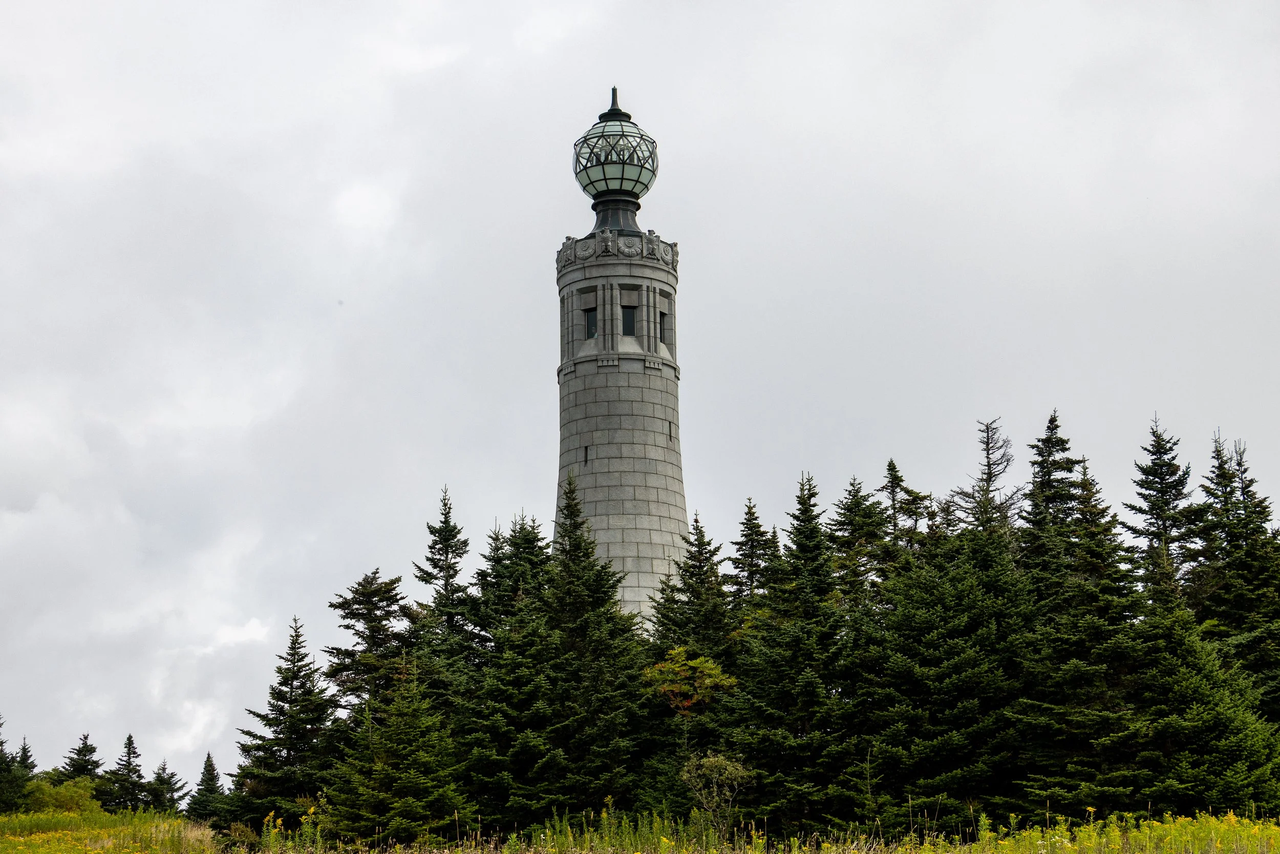
Instead of a surveyors badge or sign marking the highest point, Massachusetts went several steps further, and higher, and erected a monumental tower that rises above the landscape and boldly marks the highest point. The Veterans War Memorial Tower stands 93 feet over the summit, and offers excellent views of the surrounding mountains and valleys. At the top of the tower there is a translucent globe that shines brightly at night, except for a few weeks during the height of the migration season for seasonal birds.
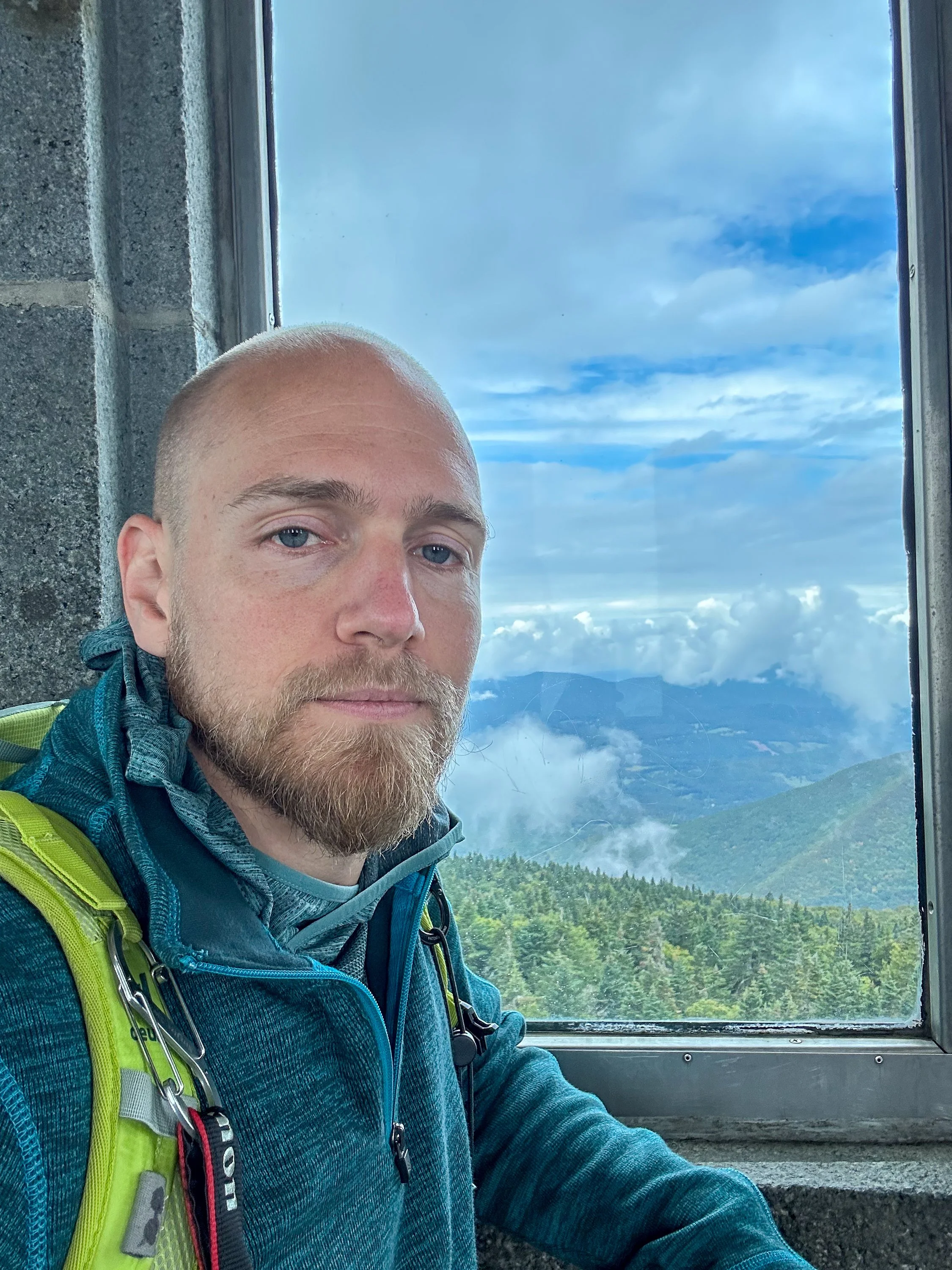
The view from the Veterans War Memorial Tower